Los Angeles River Investigations
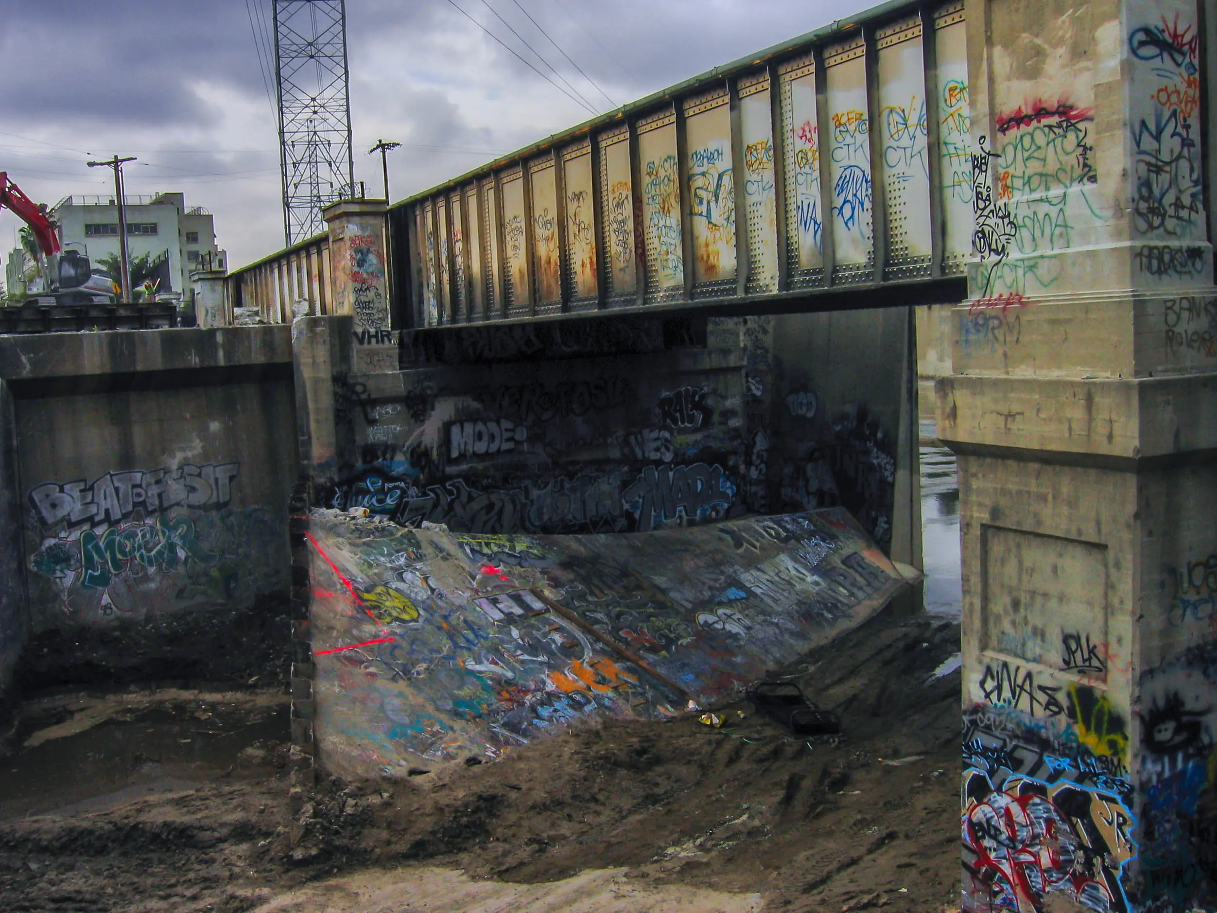
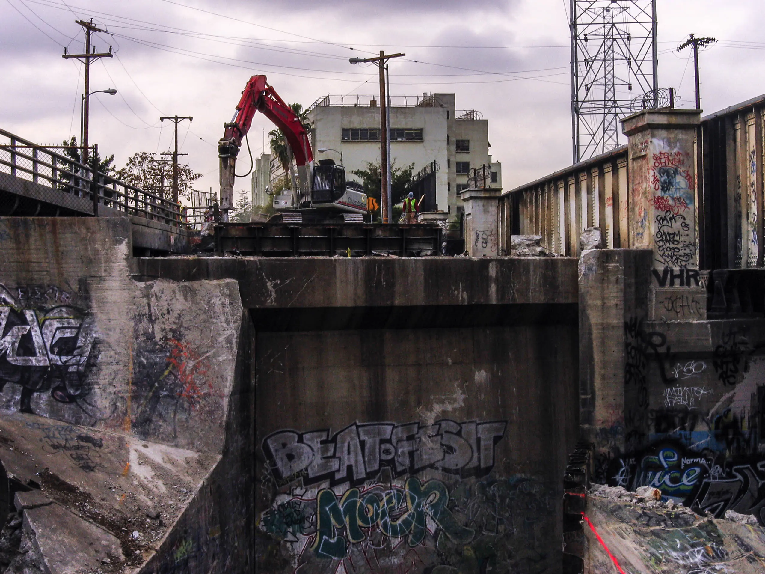
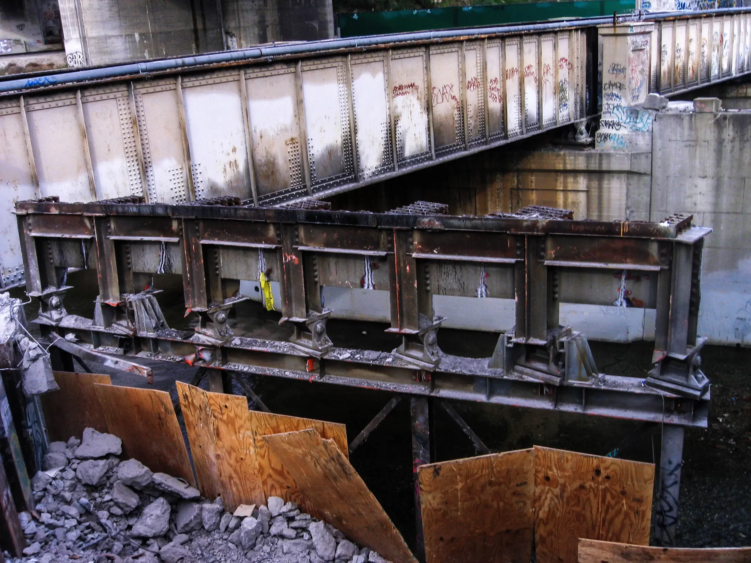
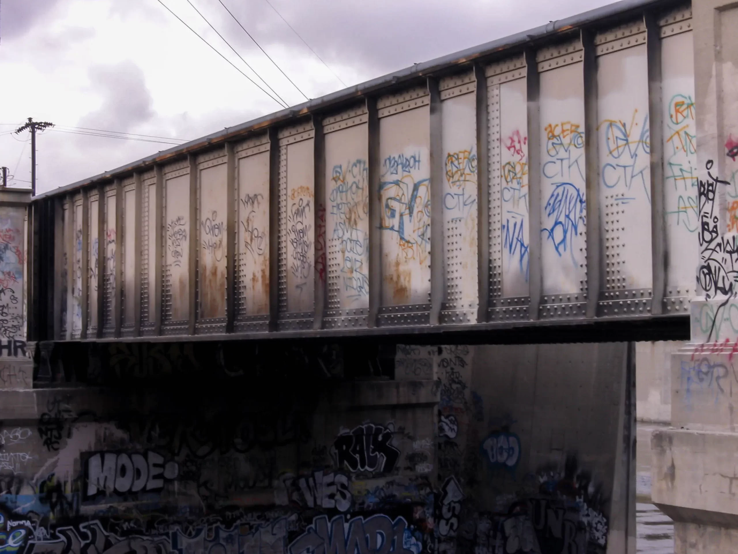
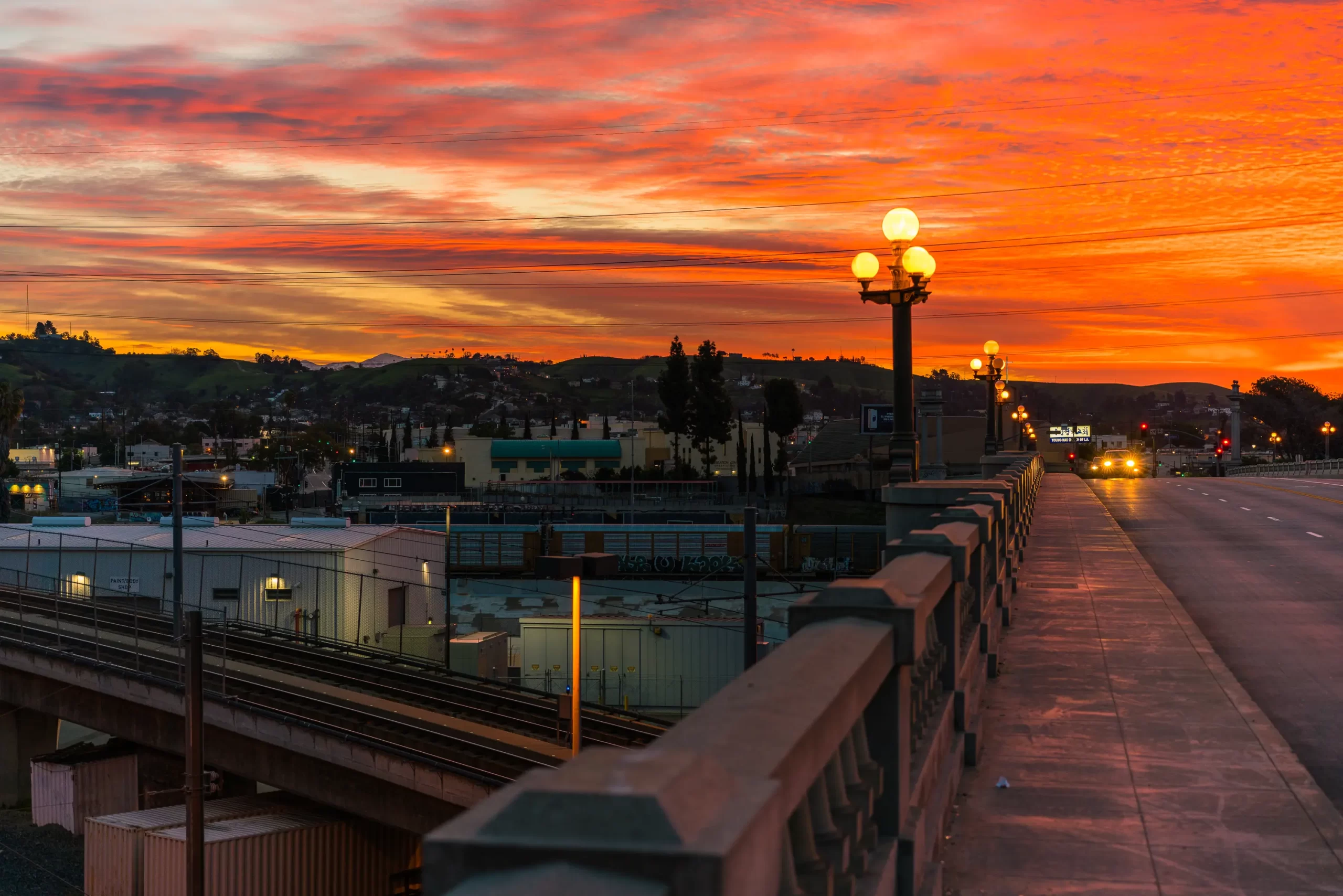
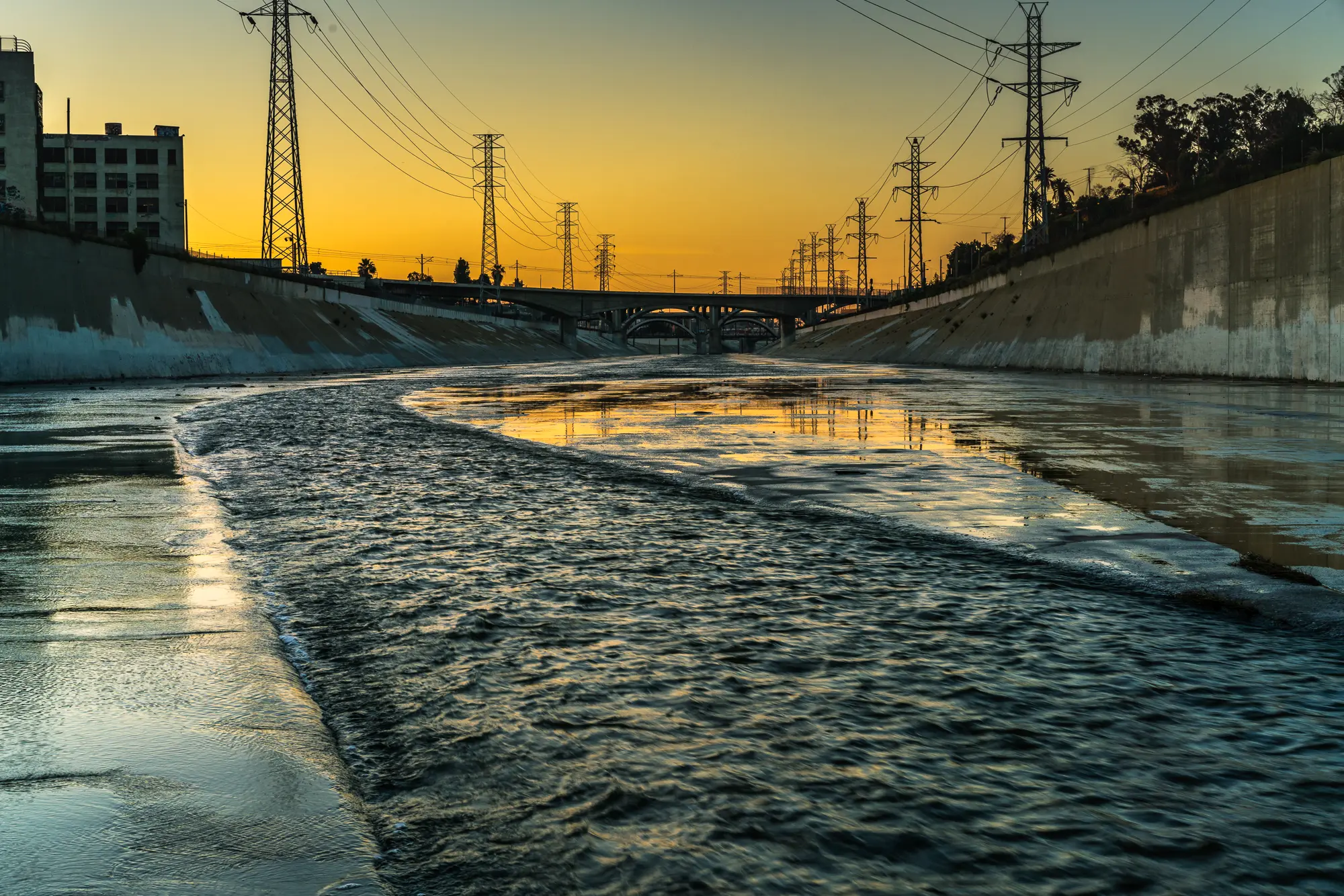
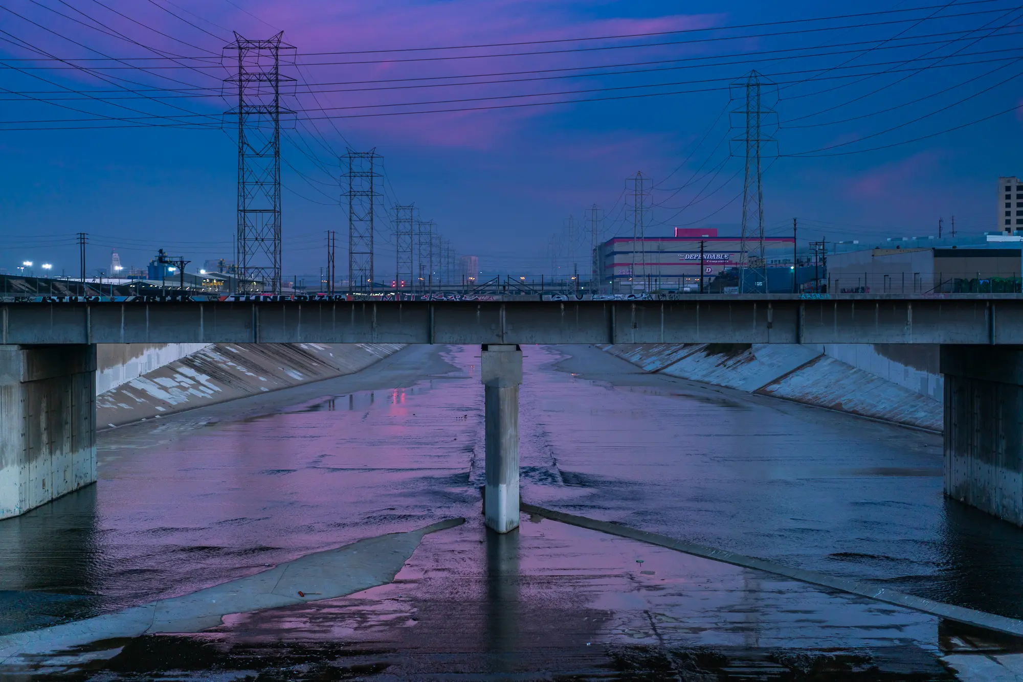
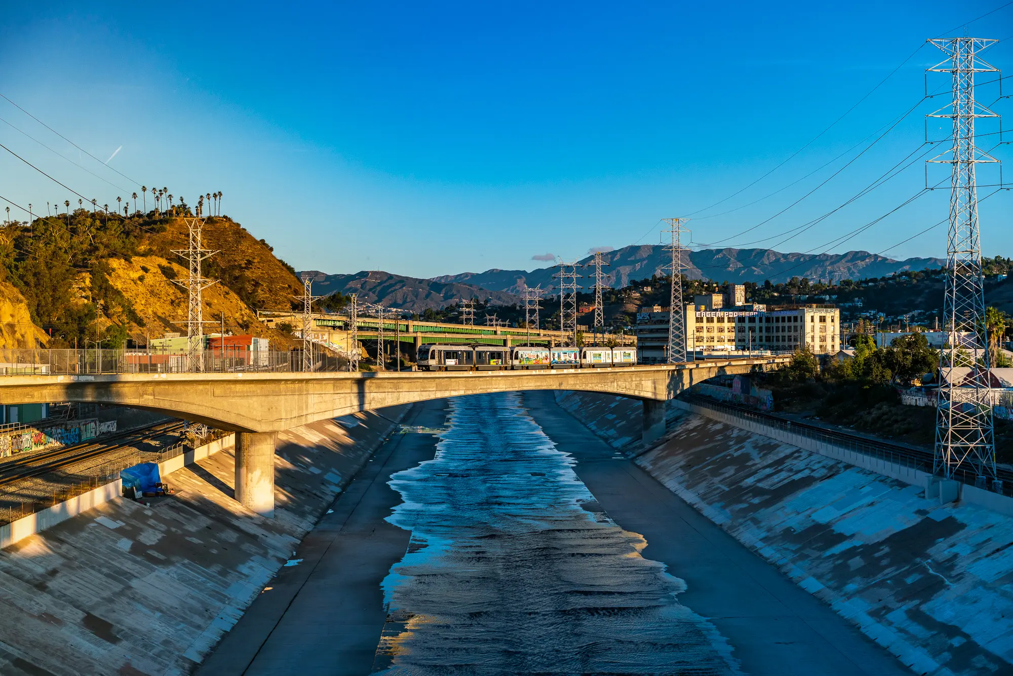
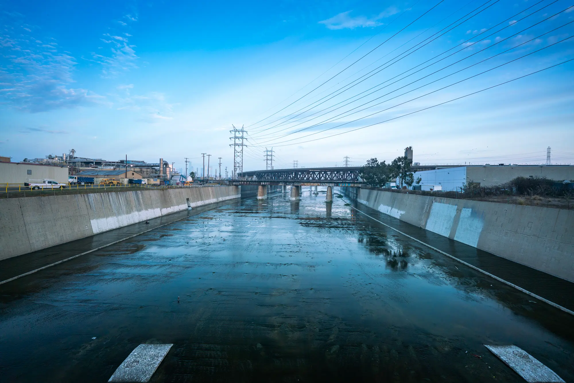
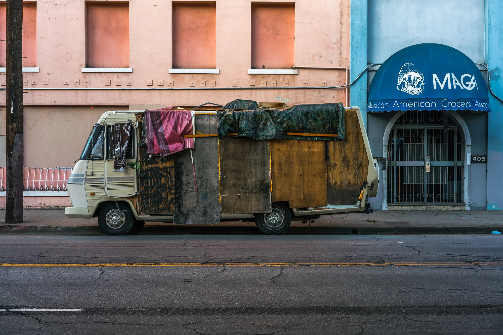
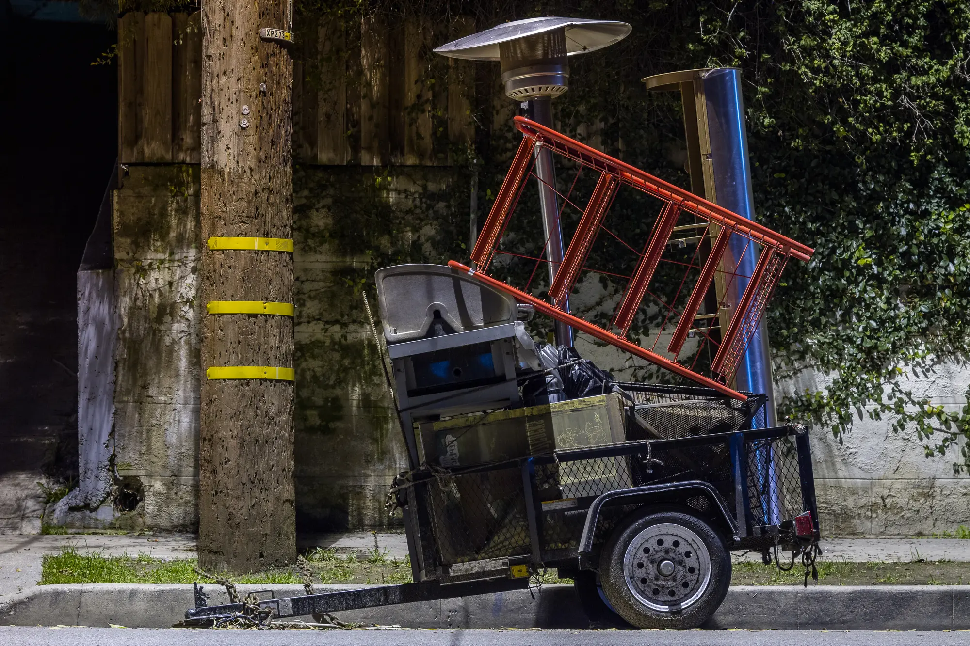
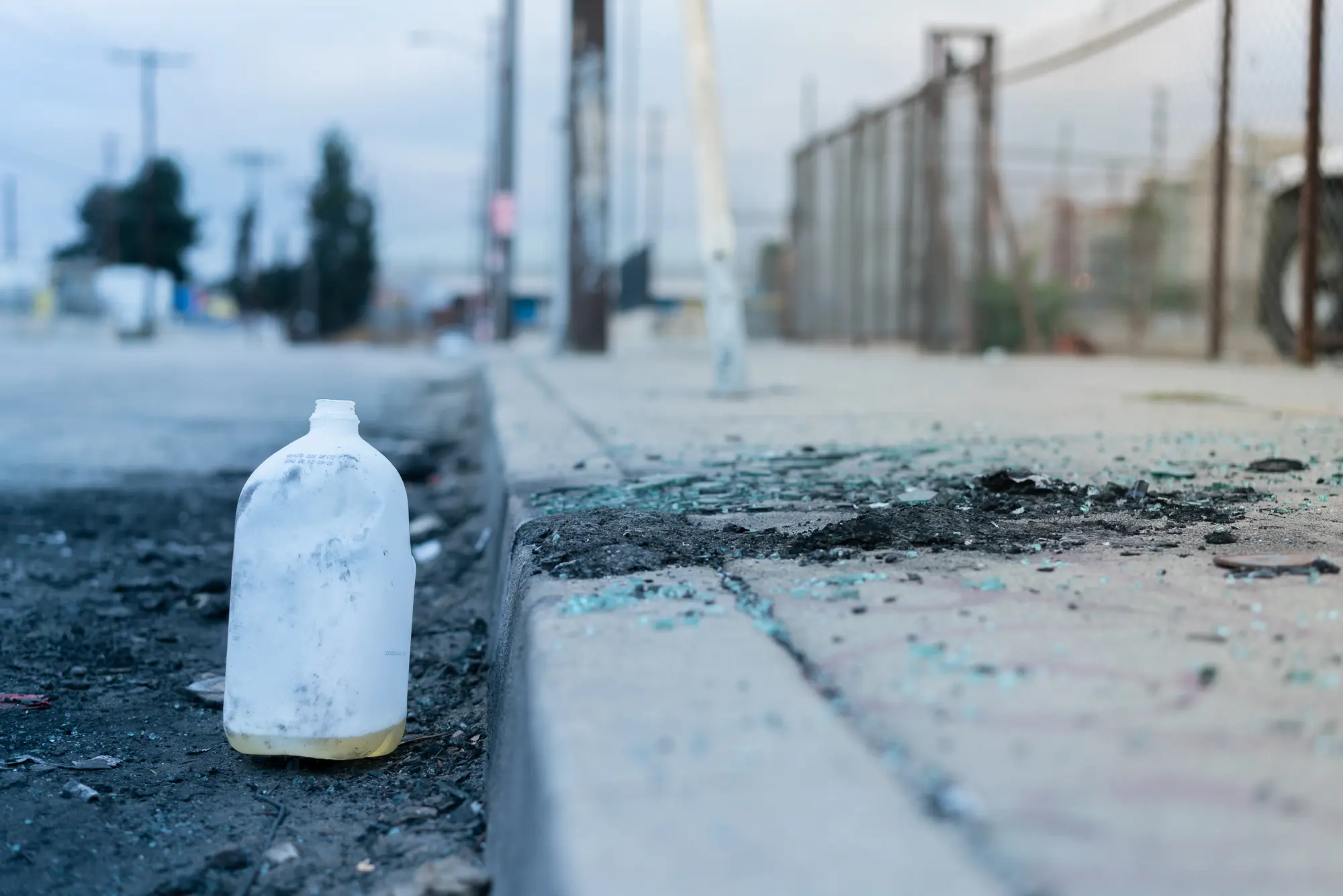
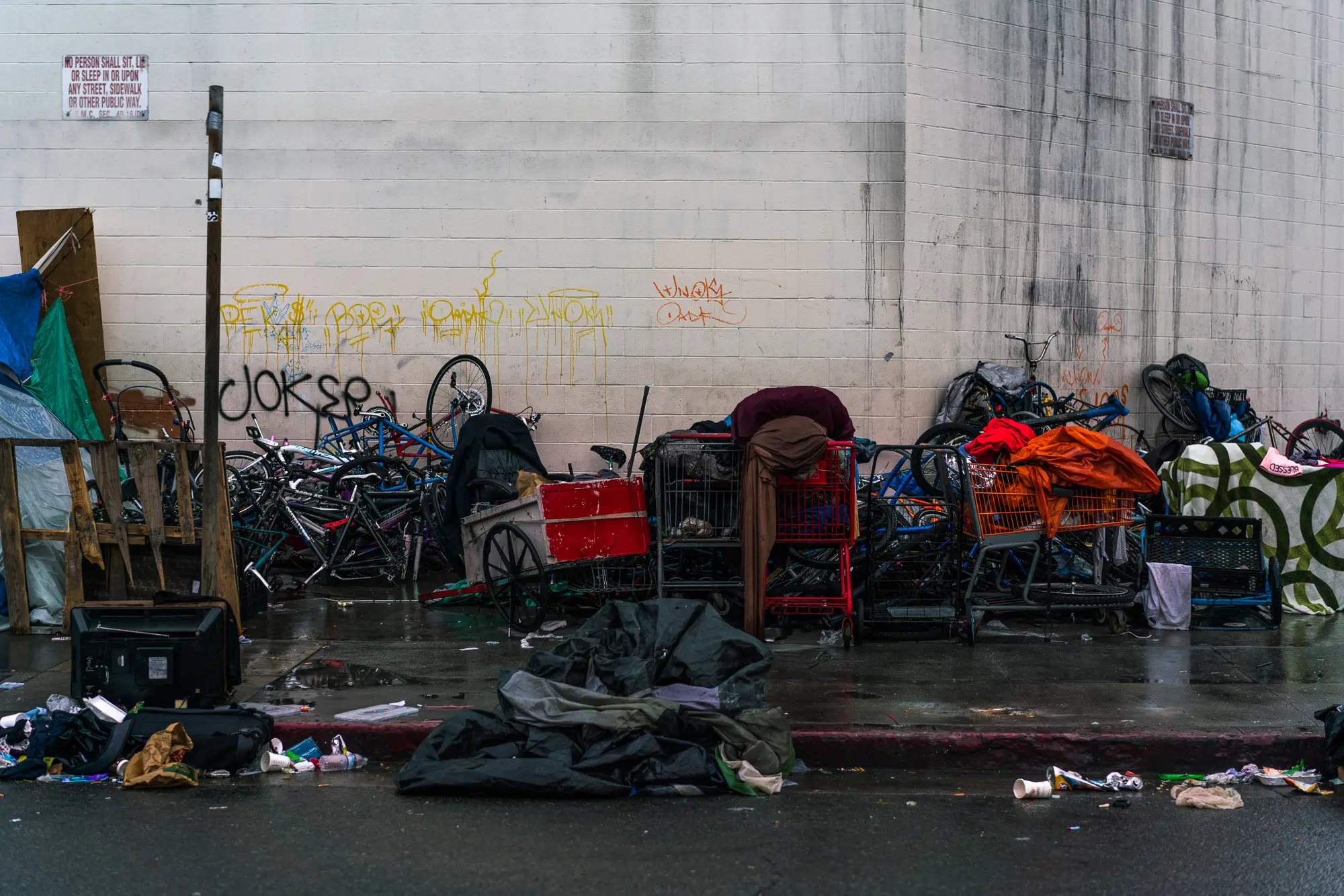
I have a long fascination with the LA River. The area I am particularly interested in stretches from the Loz Feliz overpass to the city of Vernon. While the river is the core, I also attempt to document the surrounding neighborhoods. I am especially interested in transition, detritus, and organic movement.
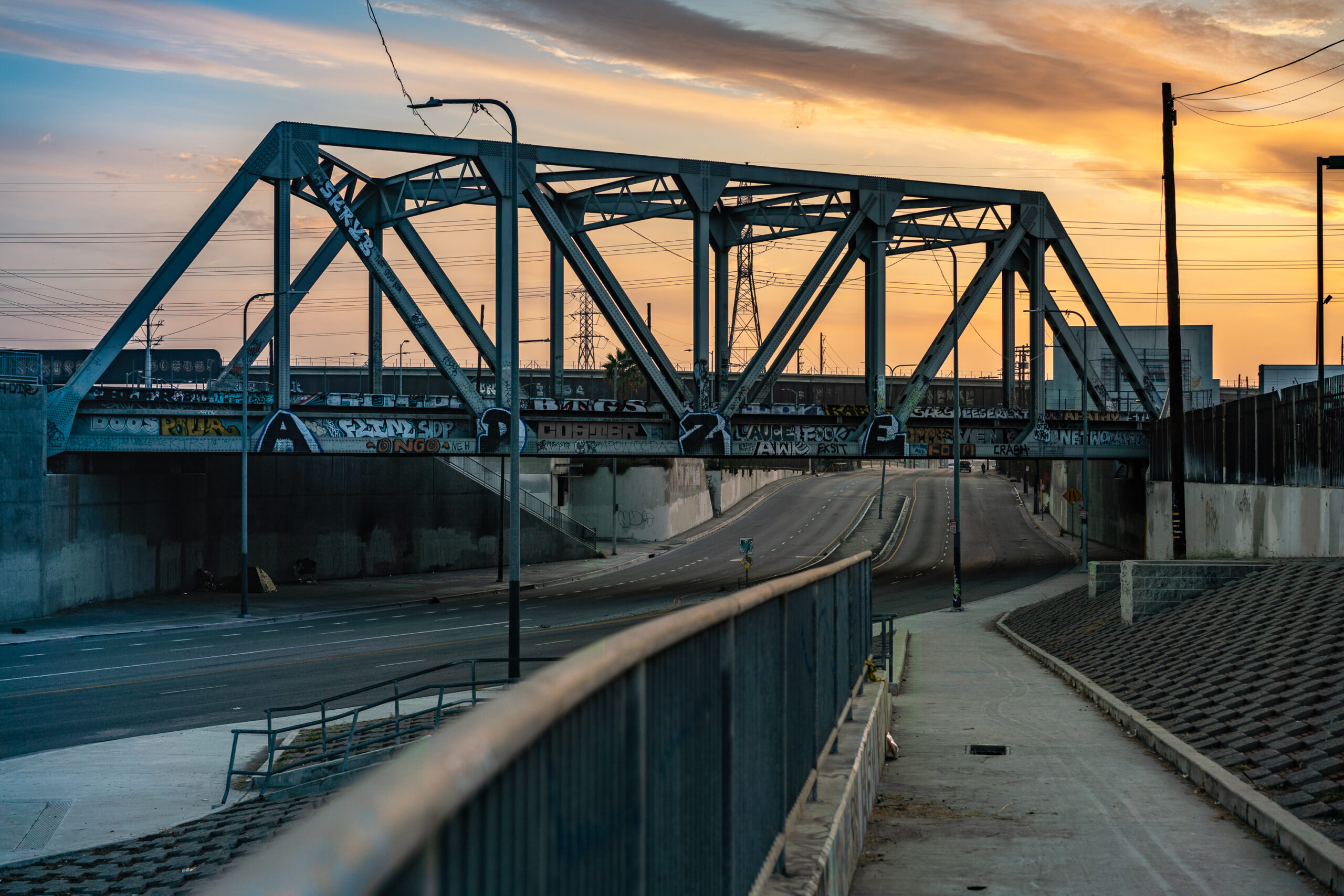
I first began documenting the Los Angeles River with photography in the late 1990s. My fascination with the LA River began as an architectural student in the early 90s when I attended Sci-Arc. I worked in the library and saw a Xerox printed pamphlet on concepts for reviving the river. I lived downtown at the time in what is now the Arts District and had a strong interest in the 4th Street Bridge and I began taking pictures and documenting this area. The advent of digital photography allowed me to document the Los Angeles River more easily. I began taking photos with a Canon G10, my first digital camera. I was still shooting on film with a Nikon F3 for the most part. I eventually bought a 7D and now shoot with a Sony A7 Rii.
Short Film With No Name and Music I Can’t Use
Real-Time Data Moshing
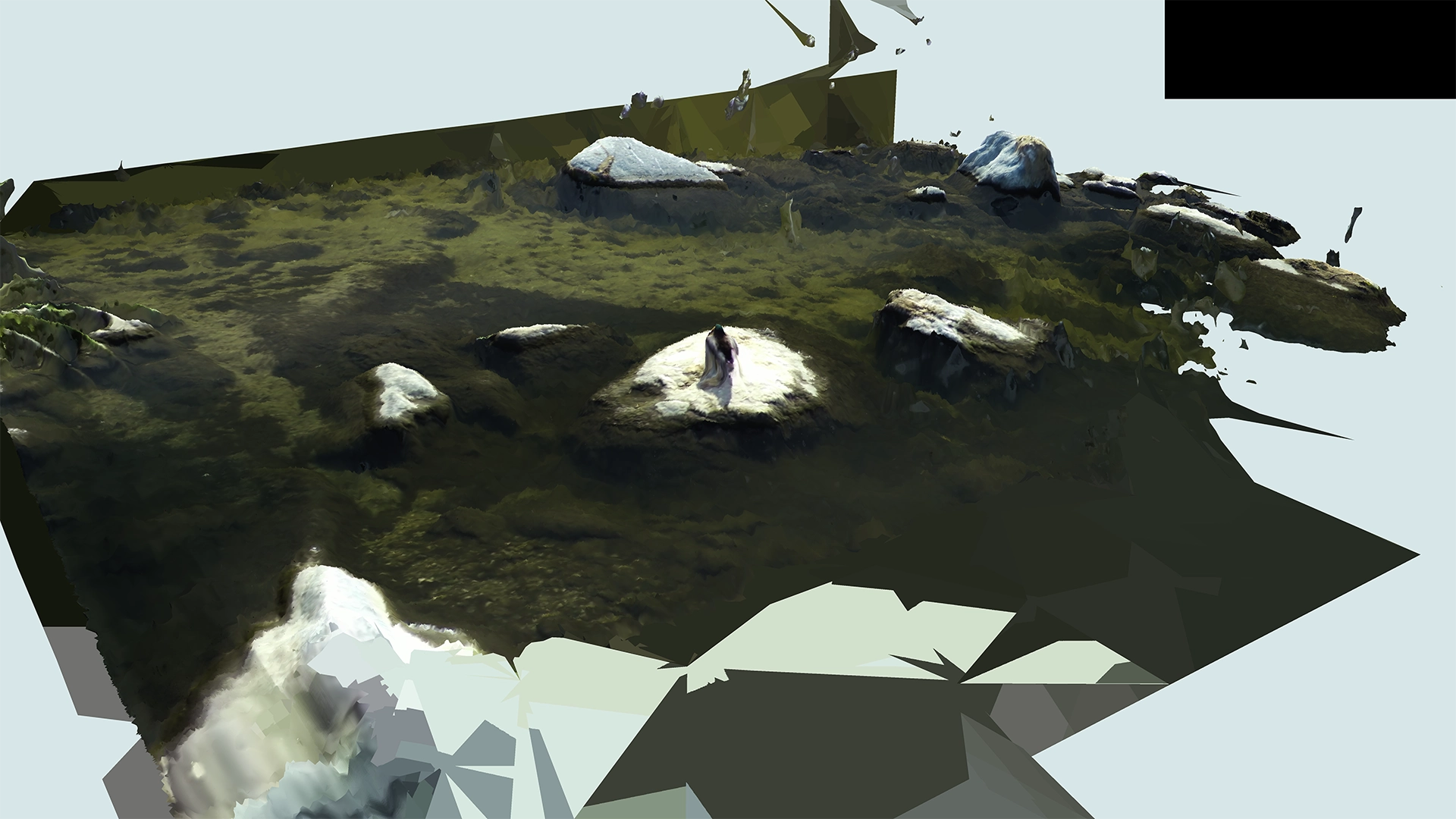
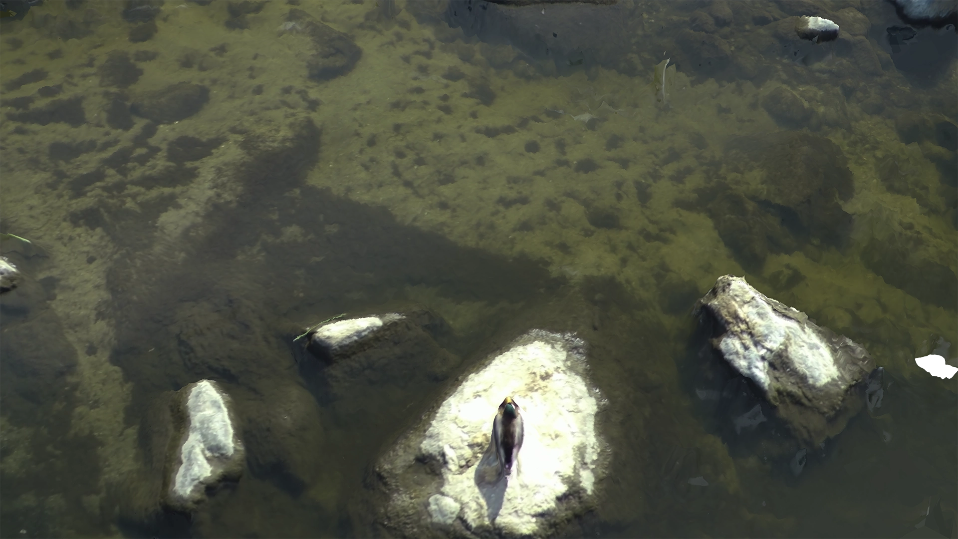
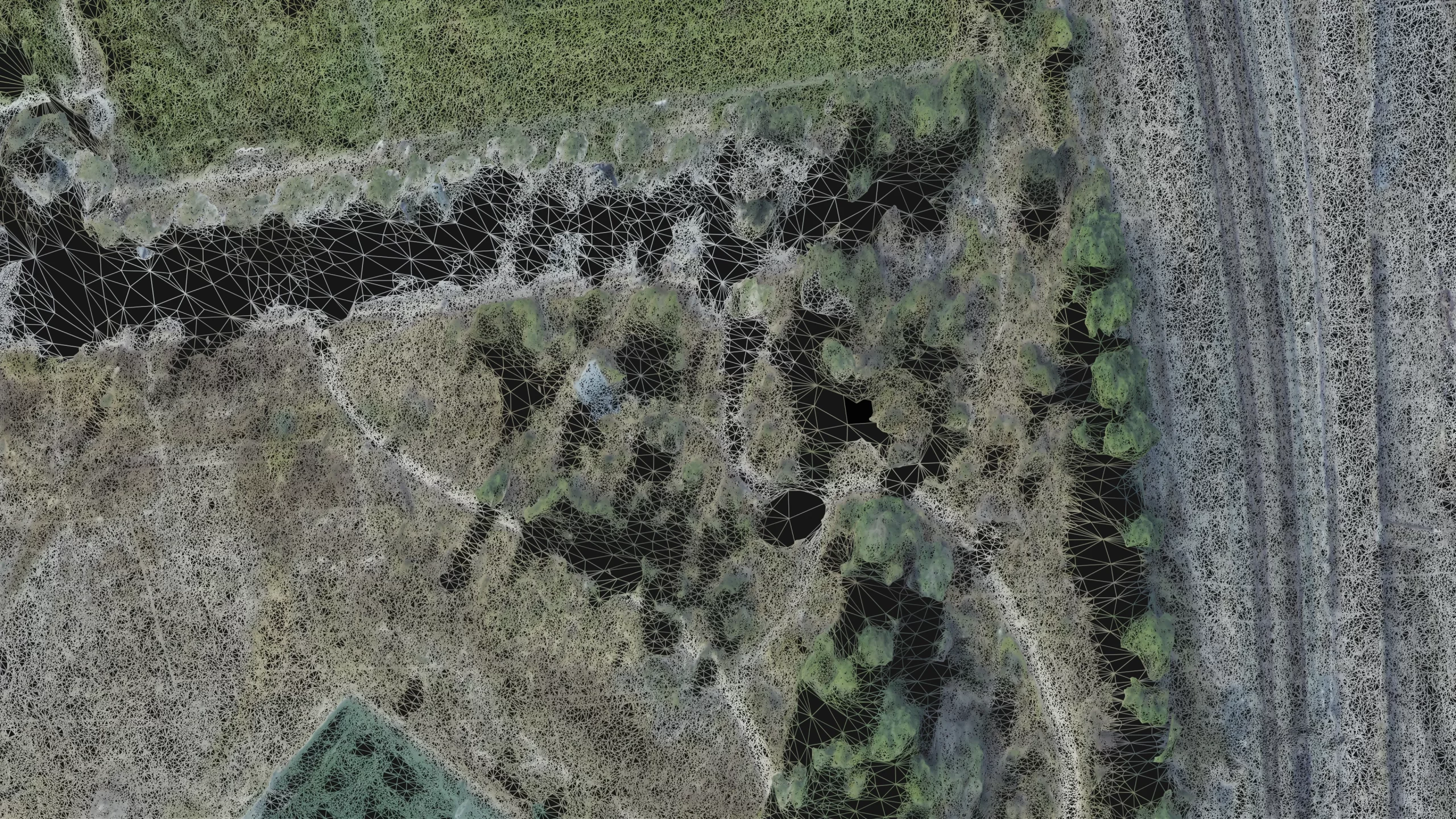
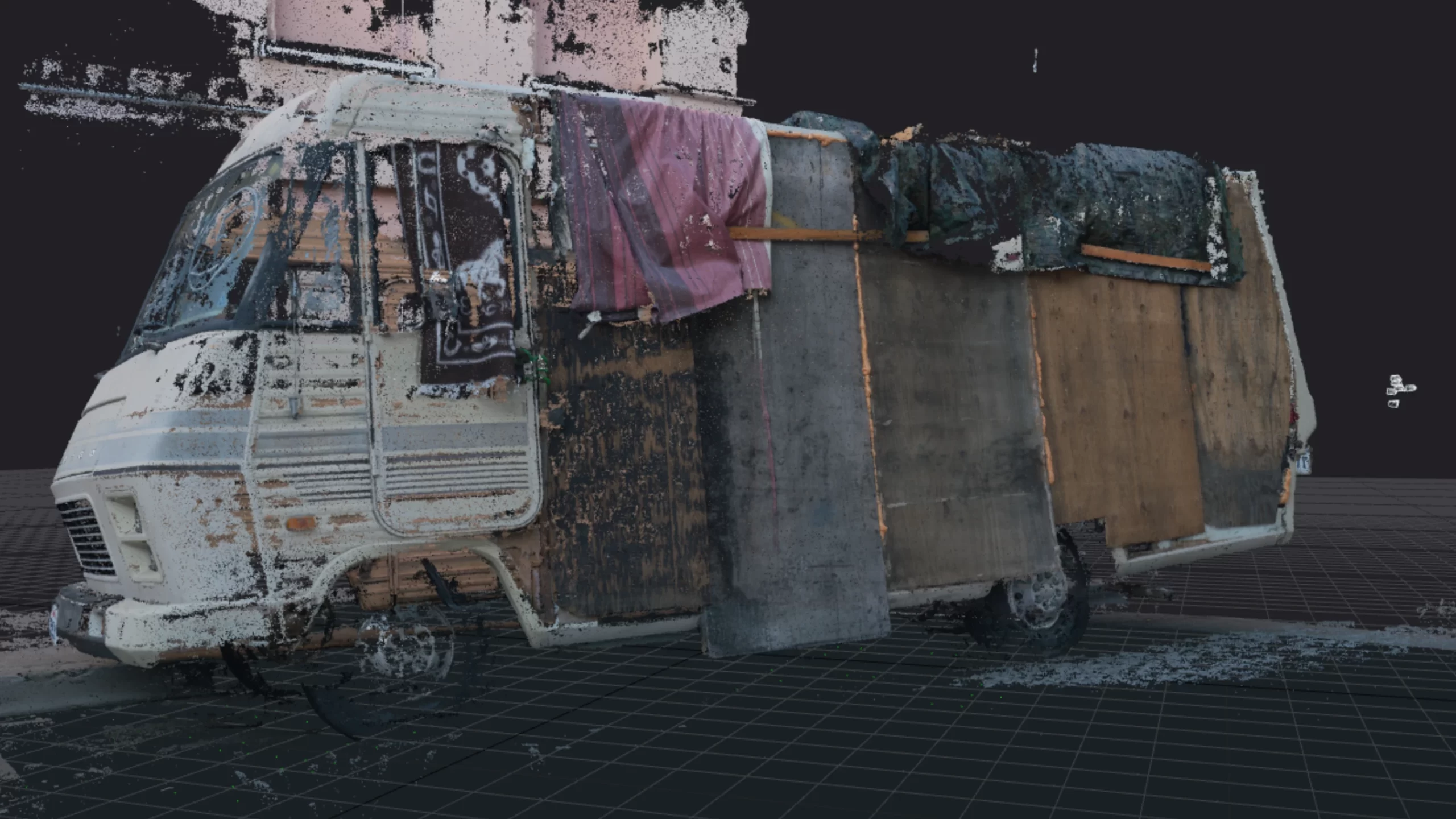
Using video as a source I use OpenCV to track the pixel motion in realtime. I call this “Poormans Flow Analysis”. I then use this data to manipulate 3D models created with photogrammetry or as distortion maps on video.
Data Visualizations and Photogrammetry
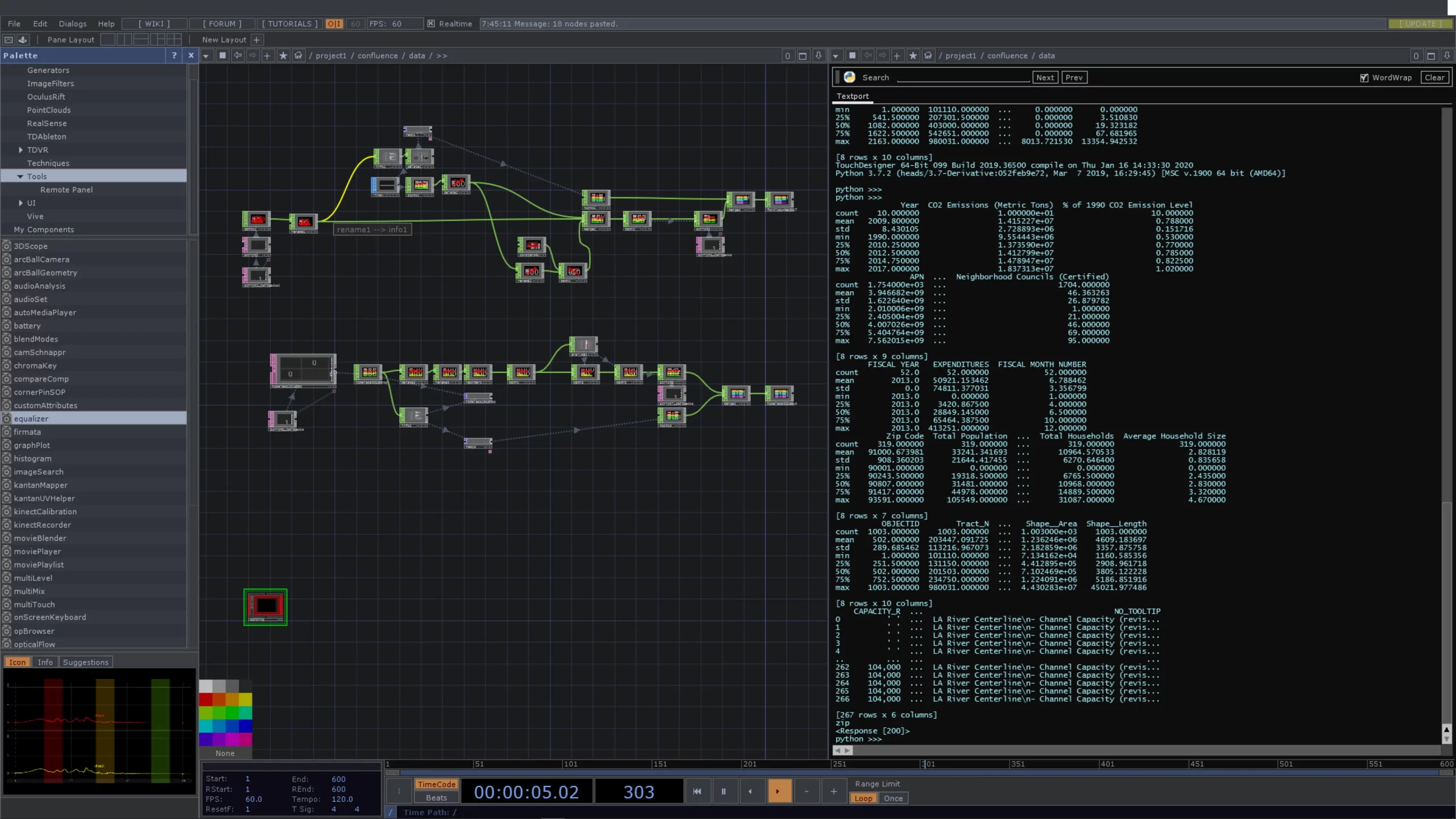
Data Scraping
Web scraping government statistical data based on zip codes. Using Python and Pandas to examine the data and translate it into tabular data that can be interpreted 3 dimensionally.
Video – Aerials Around the Orange Bride | 2023
Video – On the Islands | 2017
Video – On The Islands | 2011
Video – 360 Panoramic Mono | 2015
The LA River After a Storm in Storm 2005
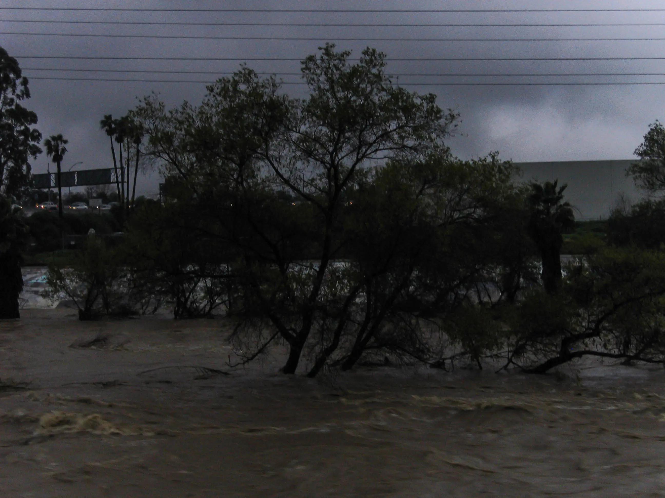
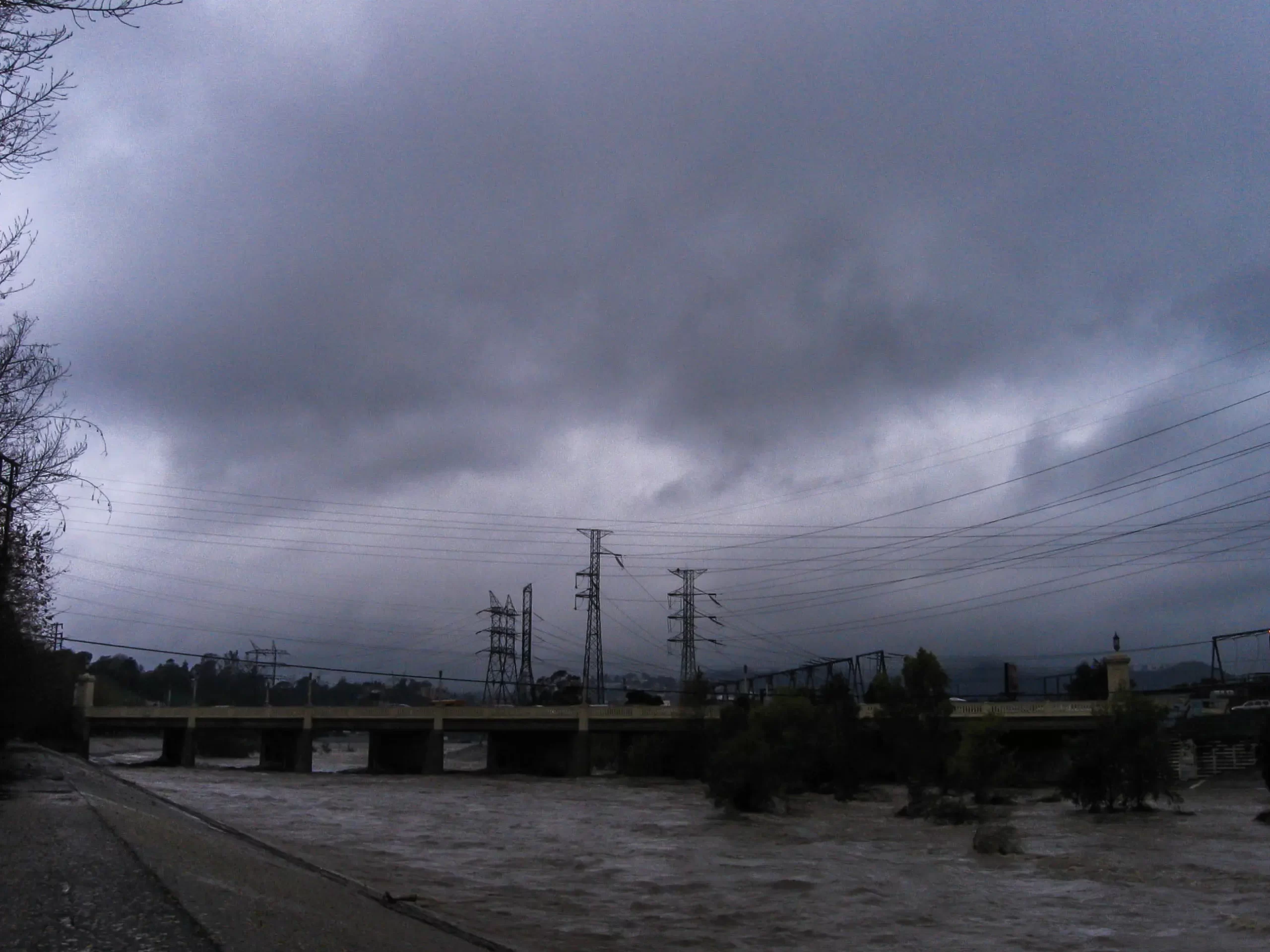
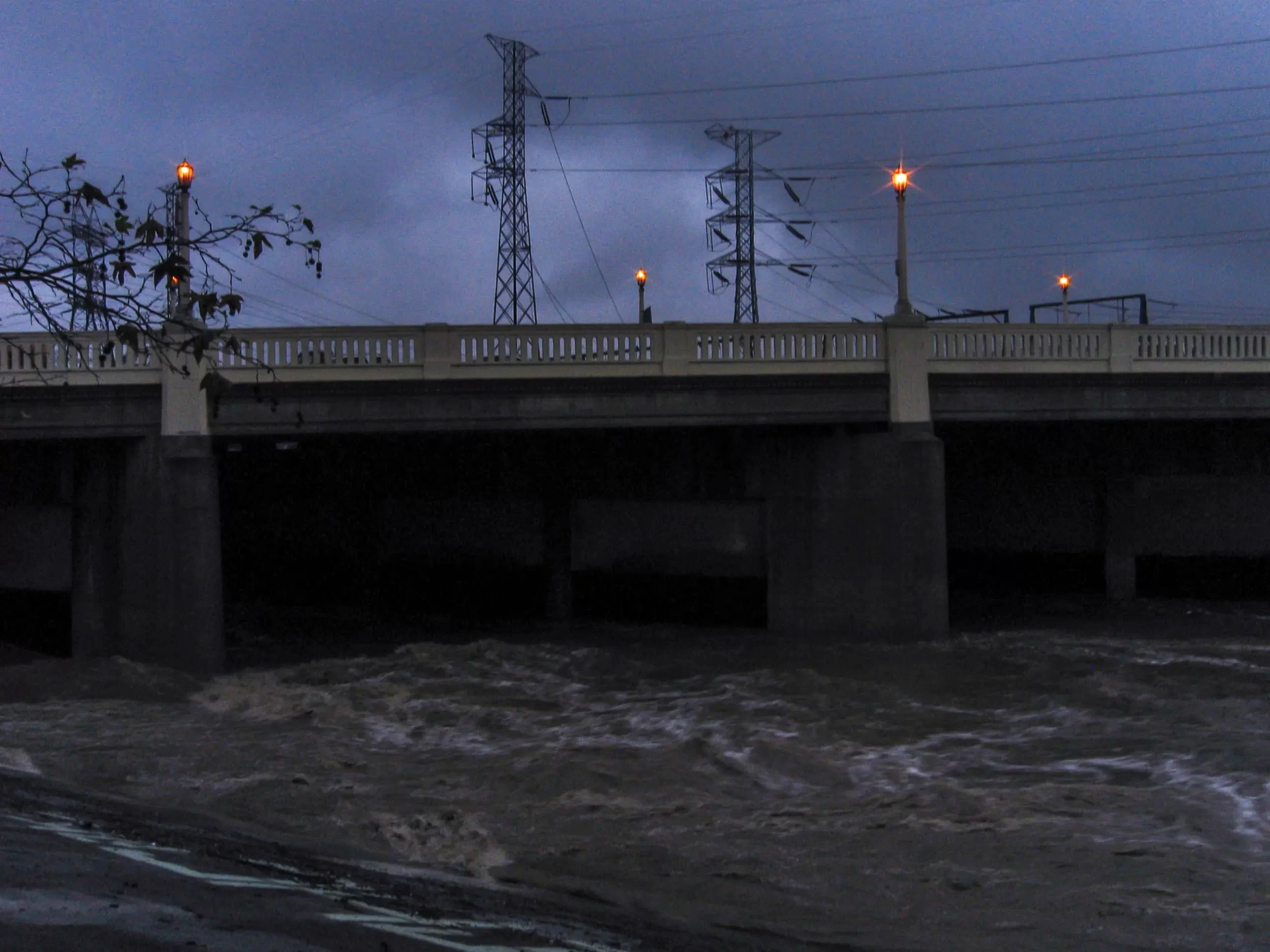
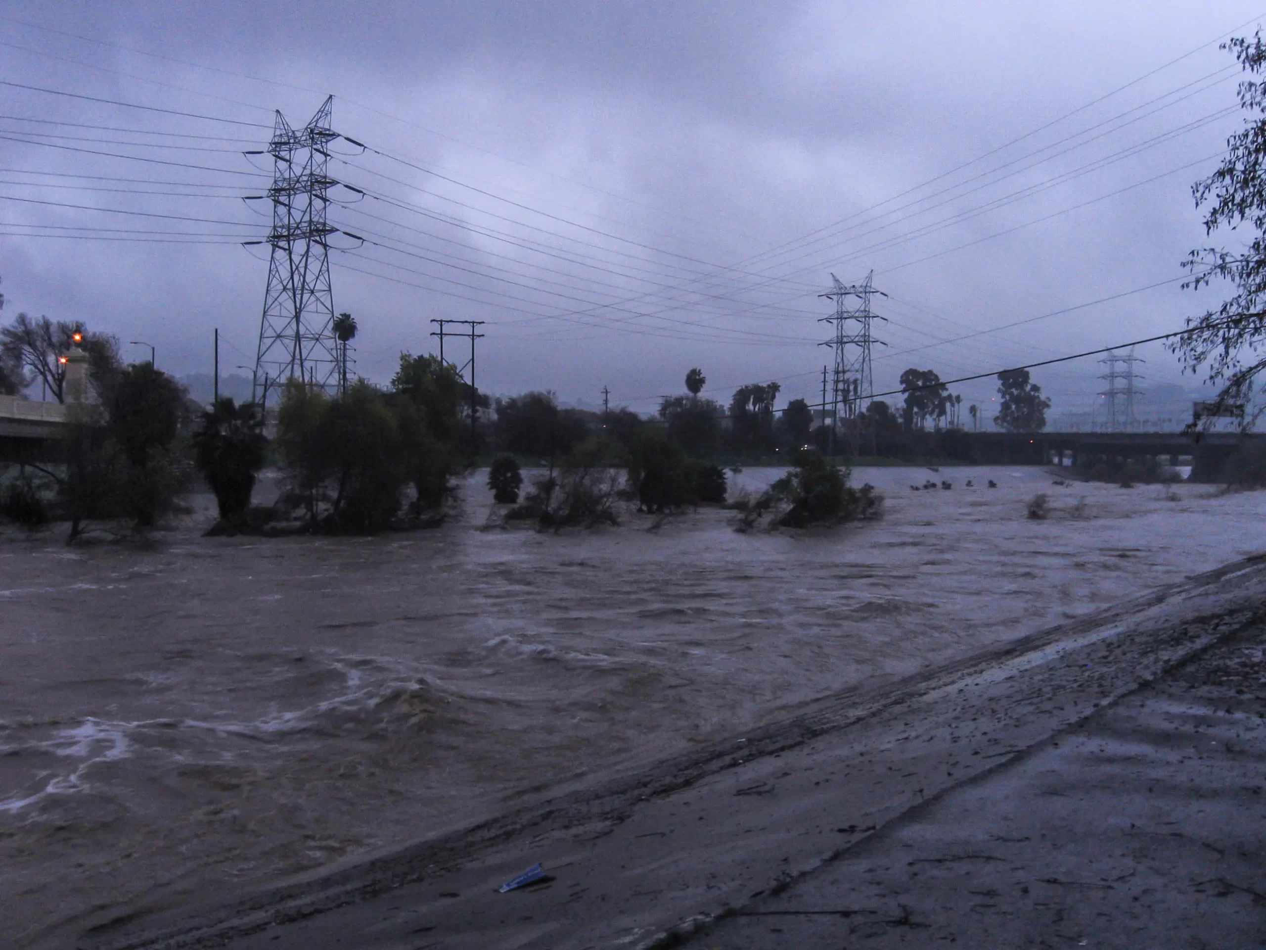
On the Islands of the LA River | 2006
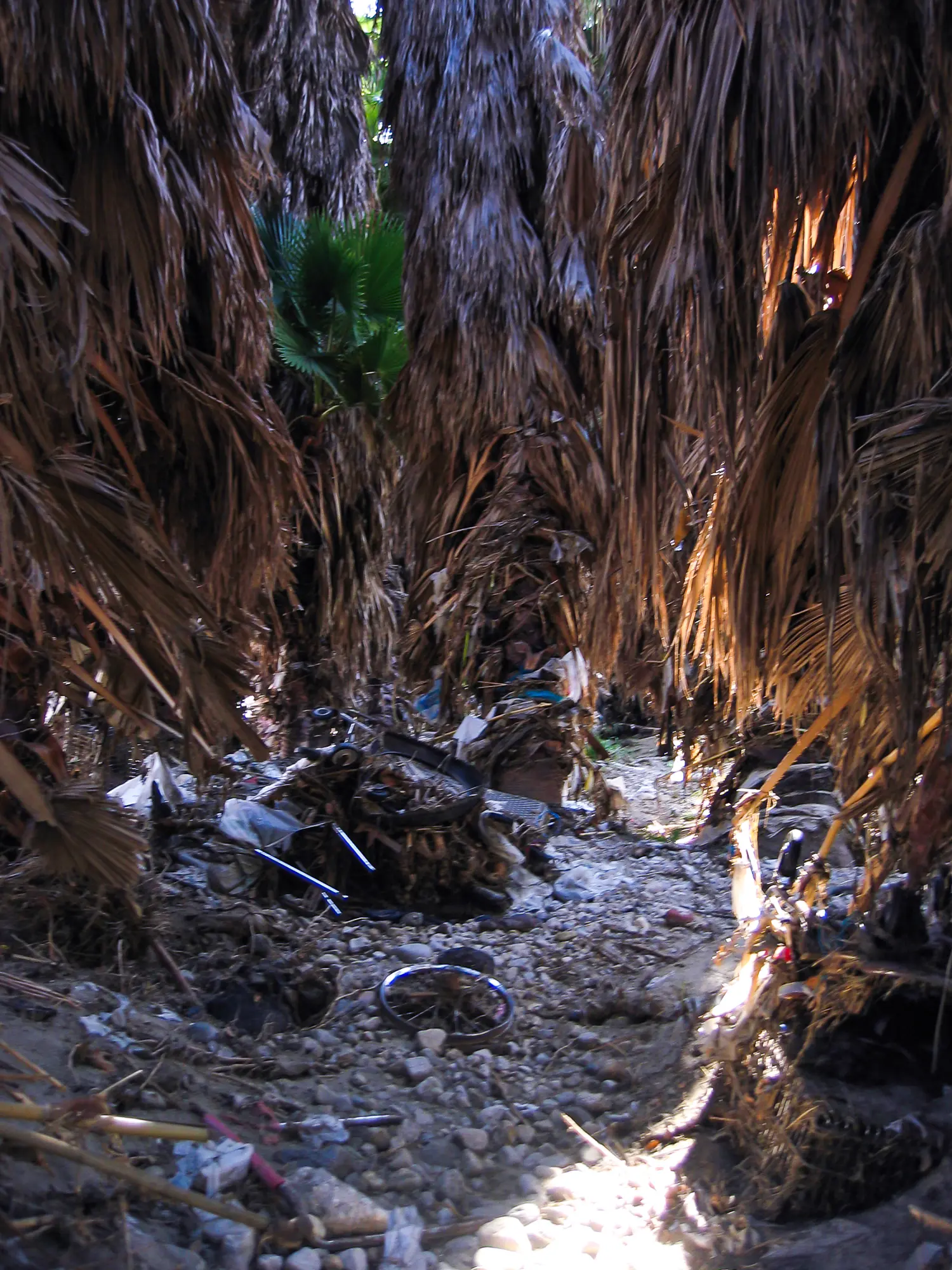
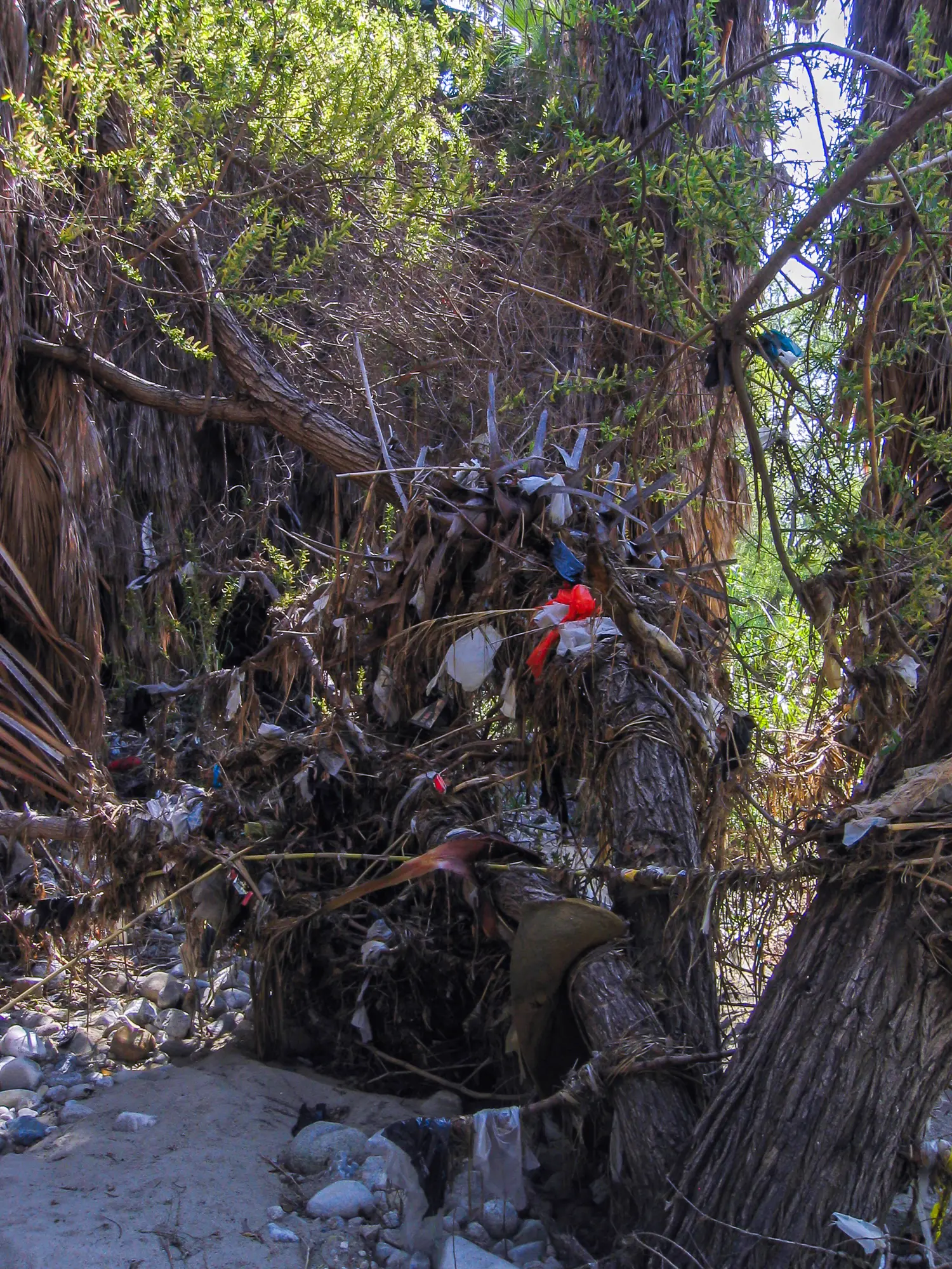
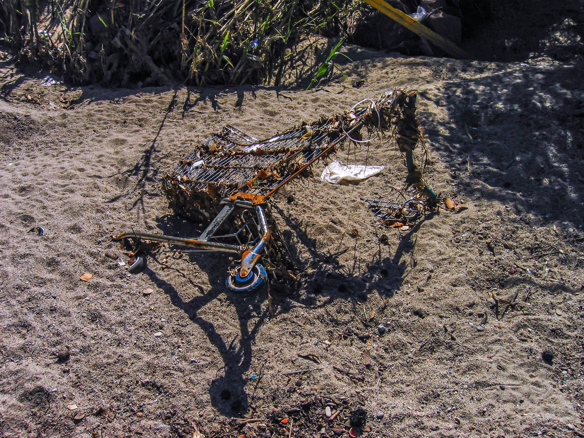
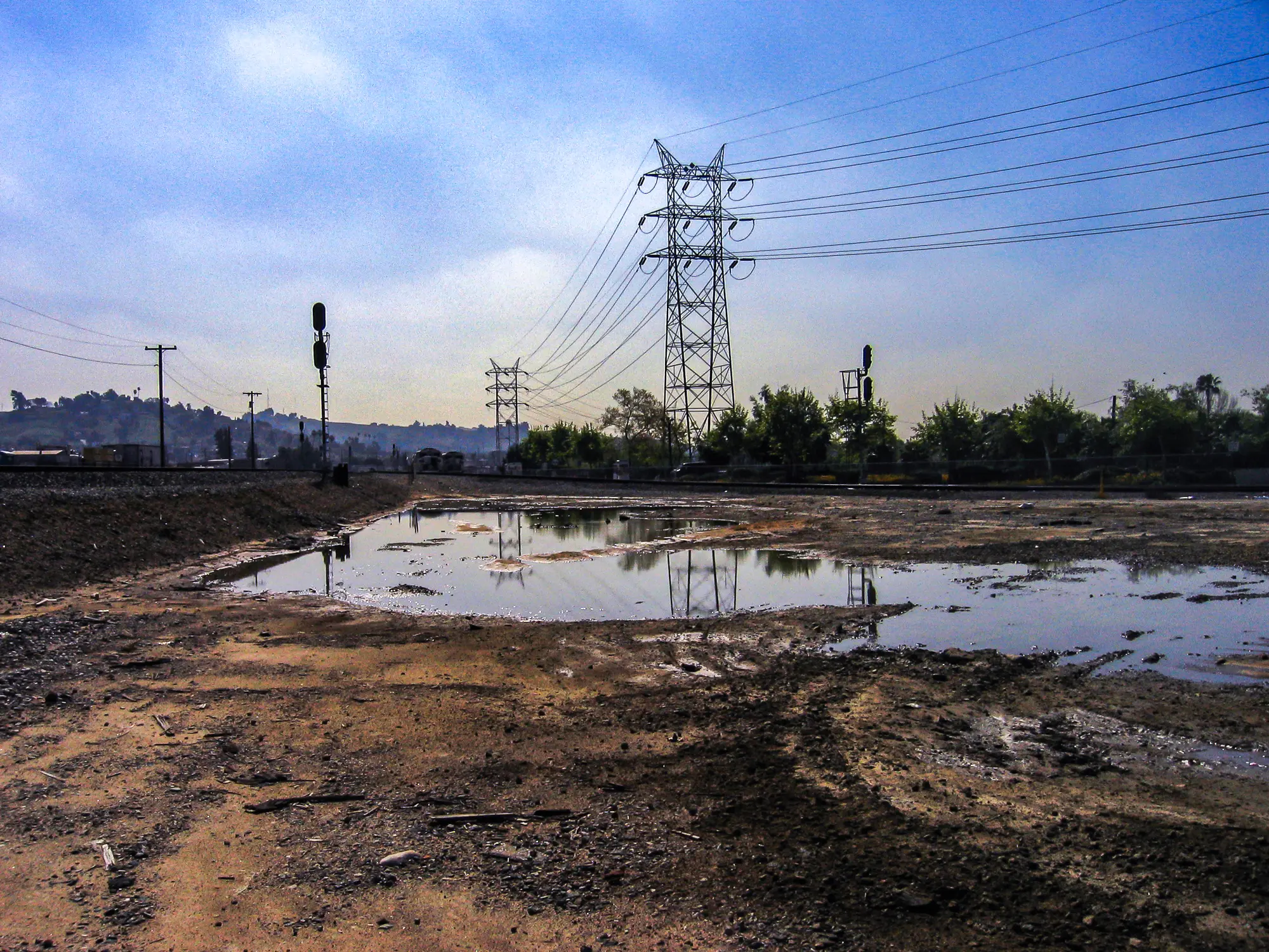
The LA River After a Storm in 2011
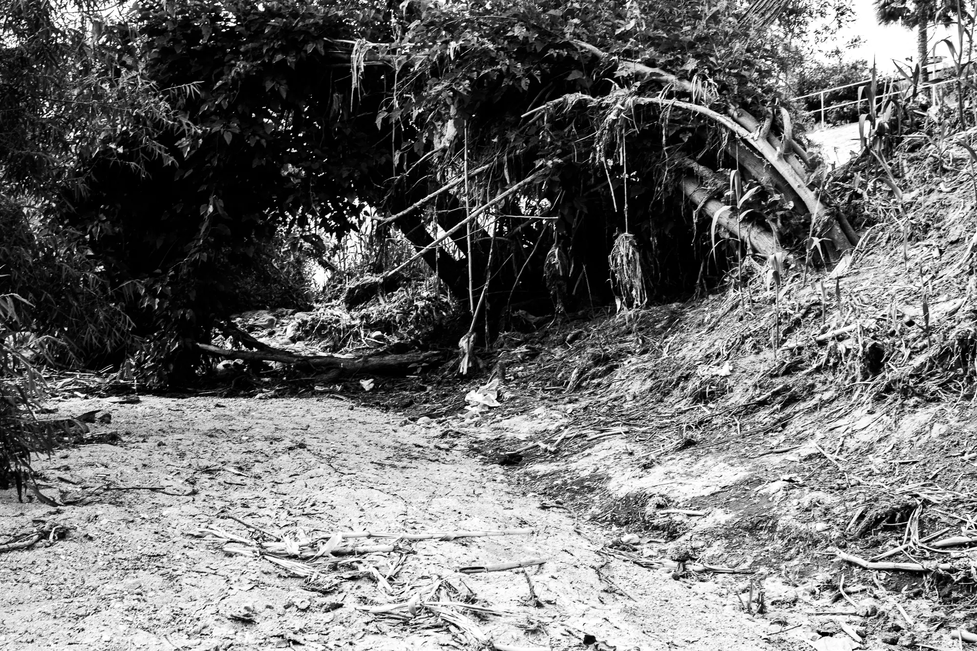
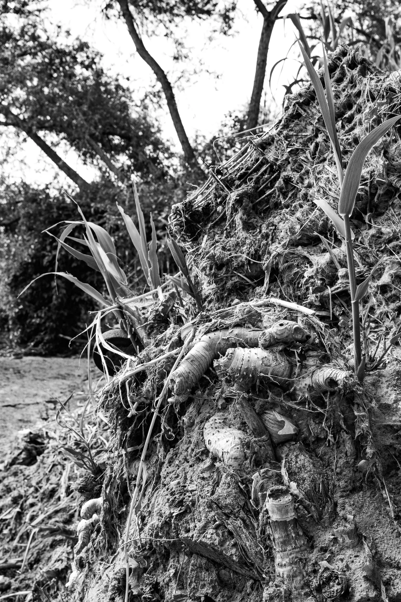
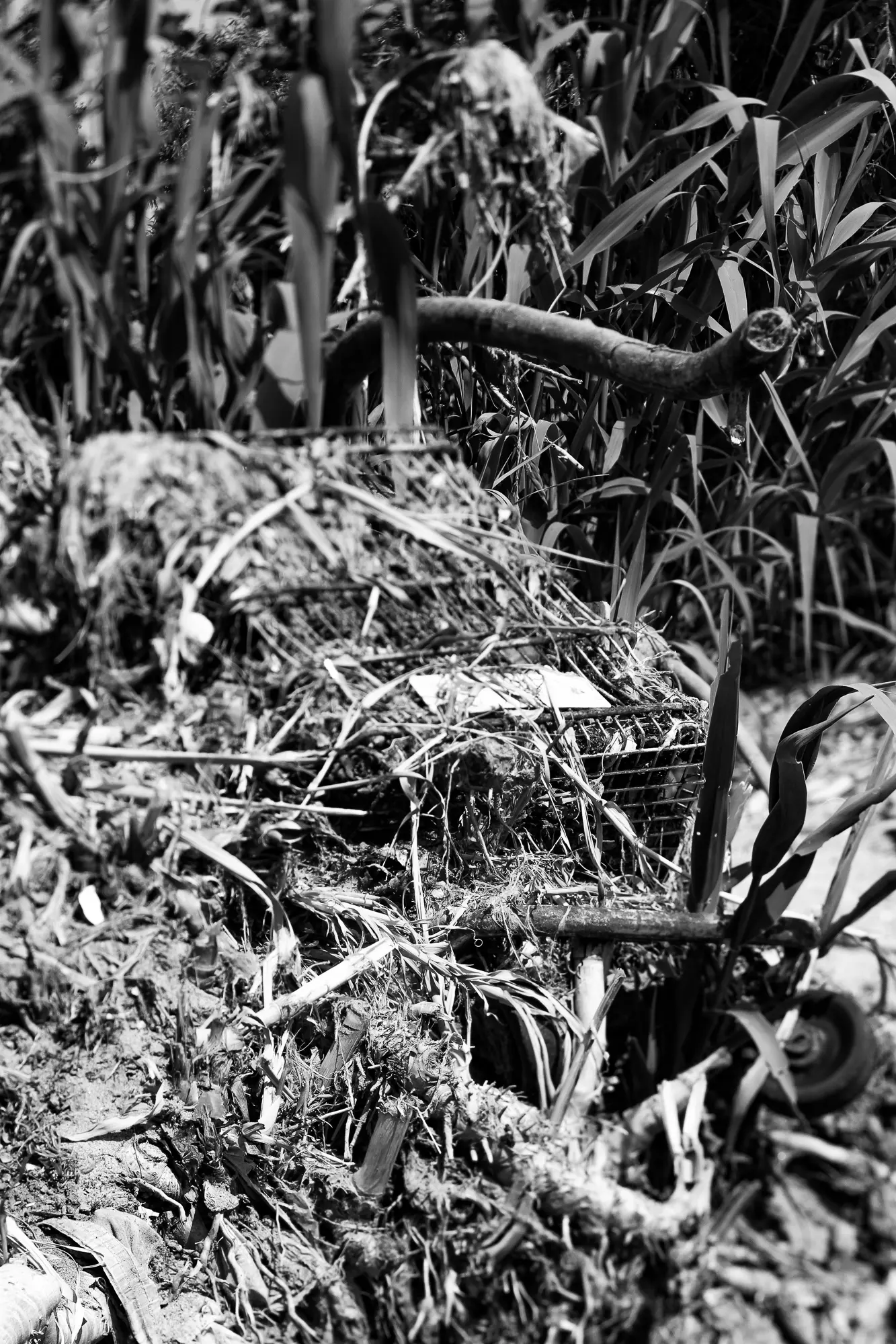
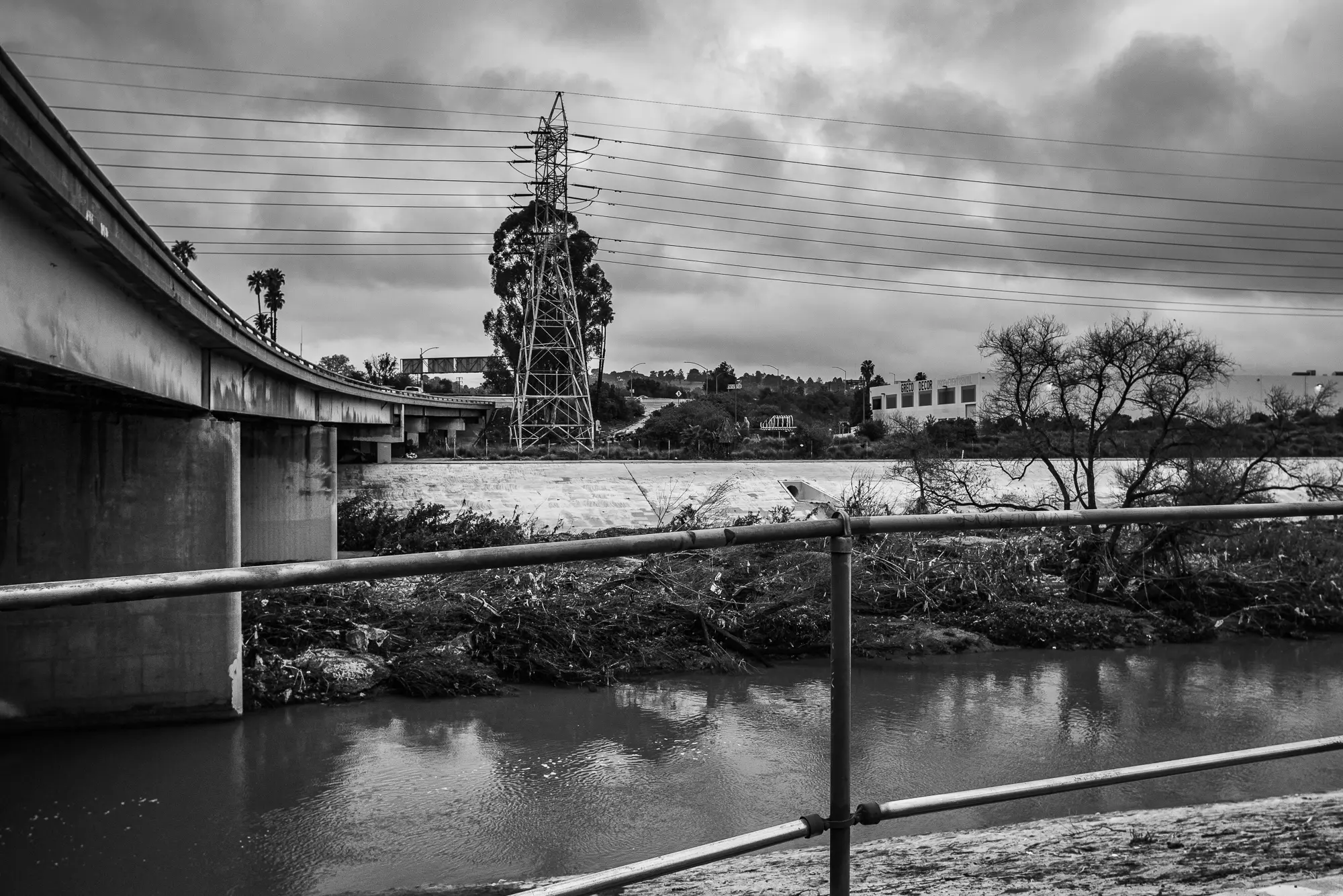
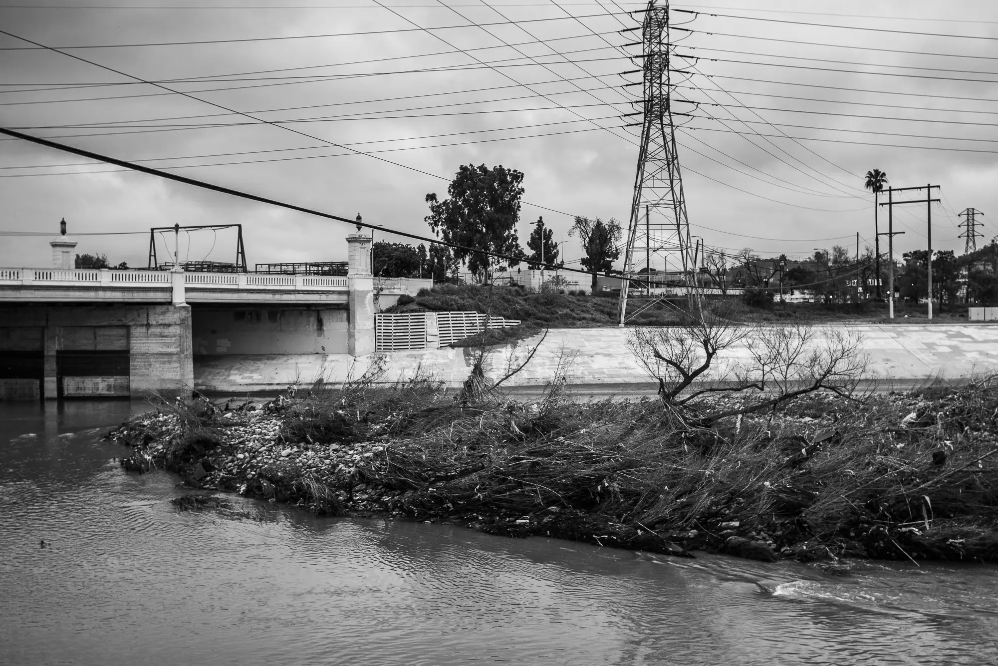
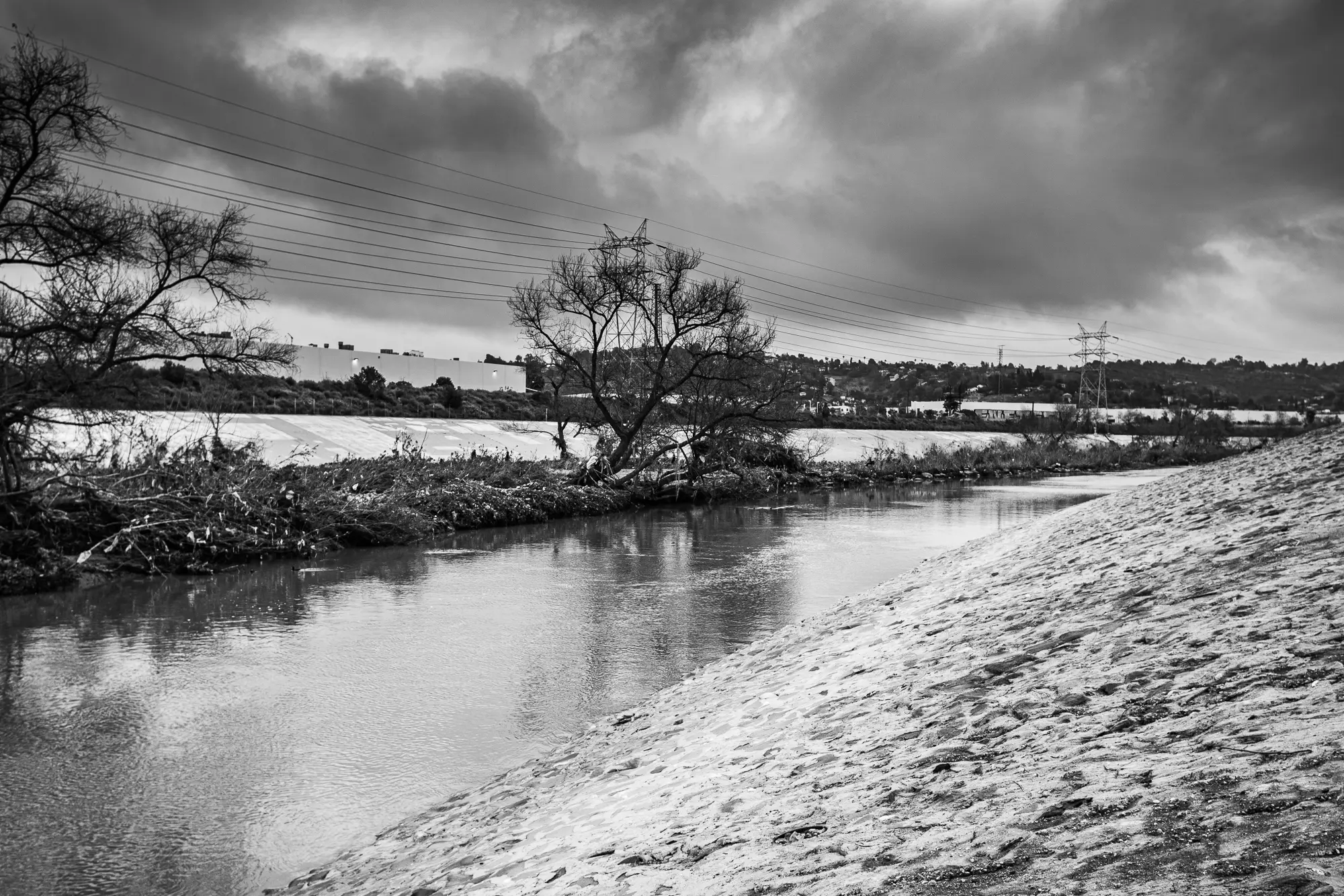
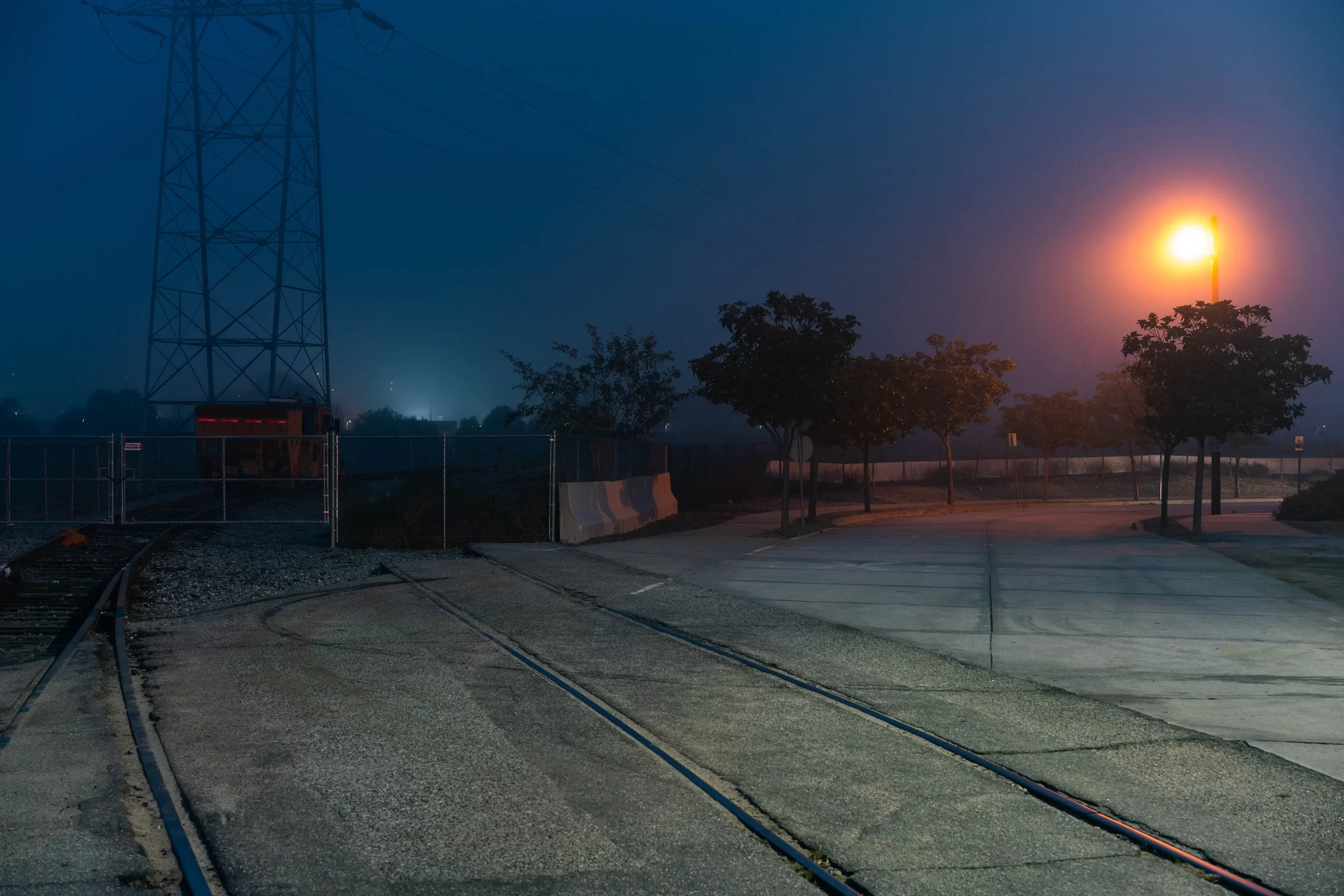
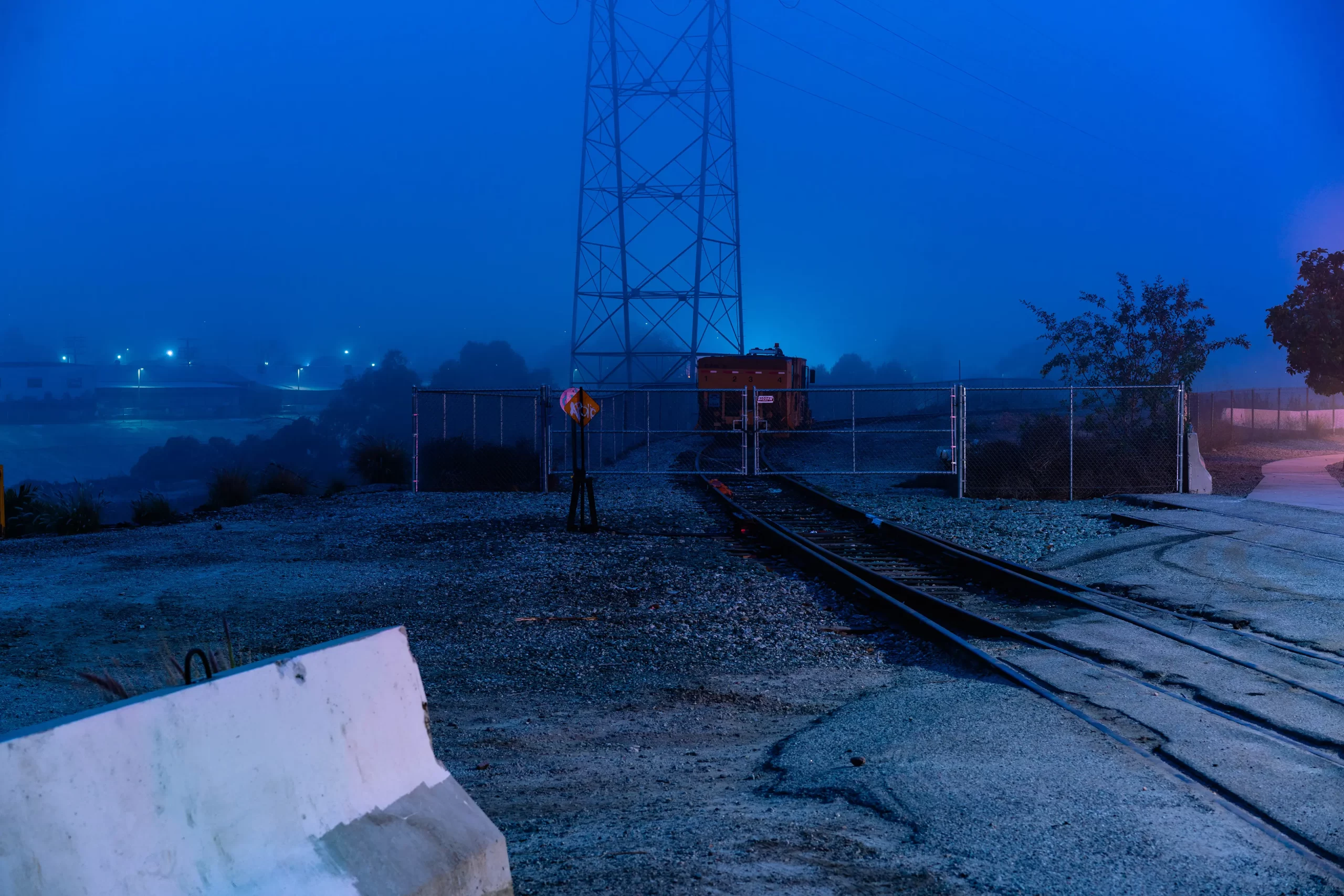
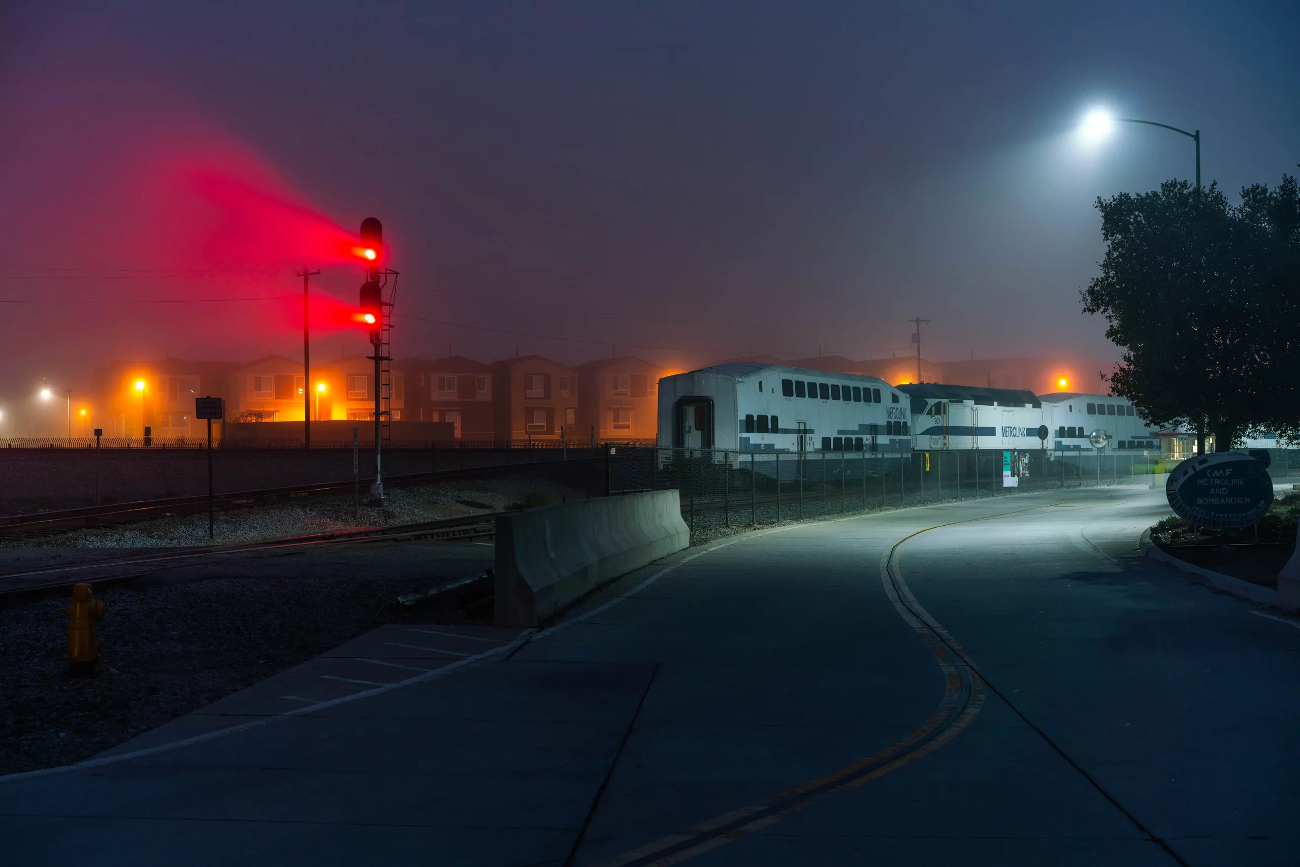
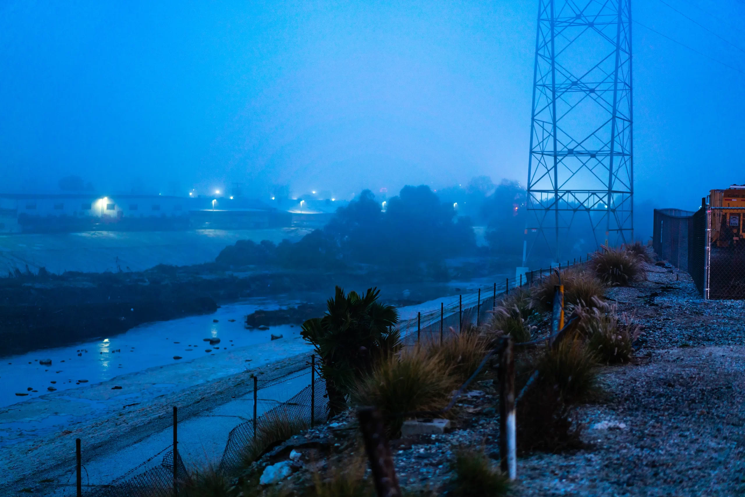
Before The Orange Bridge
I wanted to document the area before the construction of the Orange Bridge began. I waited until a good overcast morning went out around 5 a.m.
The Bridges Over the Los Angeles River
Detritus
Removing the Old Railway Bridge | 2006
